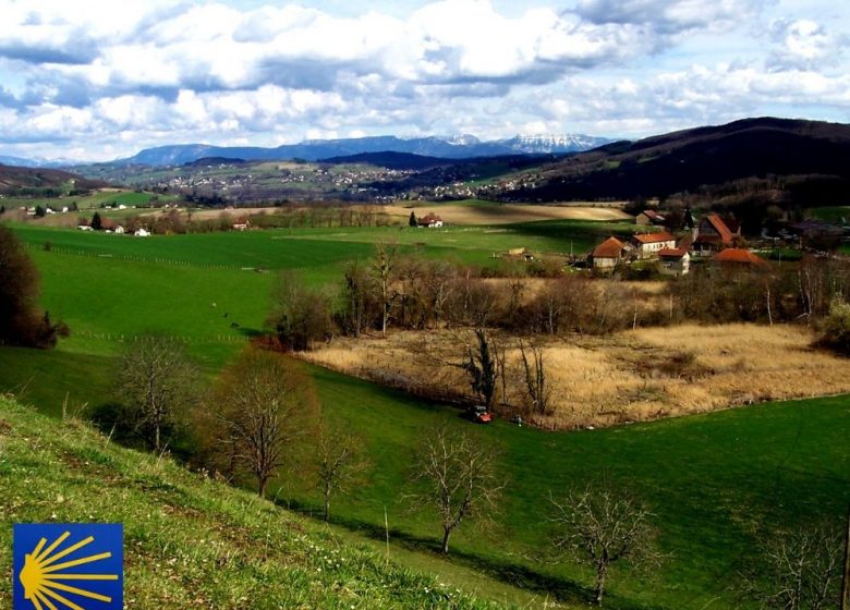
Take part of the road to Saint-Jacques de Compostelle passing through the hills of the Pays Voironnais on the GR 65. Can you see Lake Paladru nestled in the hollow of the green hills? It is revealed between the Brandoux and the Allex ...
This section of the Camino de Santiago de Compostela follows the footpaths of the Pays Voironnais, traversing the hills between the towns of Abrets and Oyeu. It passes near Lac de Paladru, the 5th largest natural lake in France of glacial origin, and it leads to the "Voie du Puy, via Piodensis" in Puy-en-Velay from Geneva.
In Rhône-Alpes to help you prepare for your trip, contact the Rhône-Alpes Association des Amis de Saint-Jacques.
For the Isère delegation, based in Voiron, Jacques Barjon and Bernadette Garcin will certainly be able to answer your questions.
Prices
Free access.
Home of animals
- Animals accepted: not communicated
Access
Our contact details
The Camino de Santiago in Pays Voironnais
38490 charancieu


