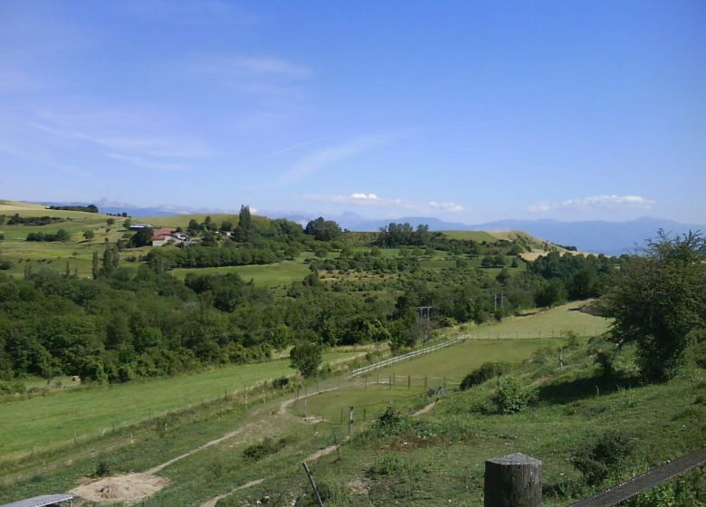
An itinerary where you take height. Breathtaking view of the Isère valley and the great plain of Tullins, an important communication route between the Alps and the Rhône Valley since Antiquity.
From Tullins, take the D73e to start the ascent of the Col de Parménie towards Izeaux, Saint-Paul-d'Izeaux and the Fortress.
At the Fortress, turn right onto the D154 then the D132 towards Saint-Michel-de-Saint-Geoirs.
From there, turn left on the D518 to the Col de All-Aures literally “all the winds”.
At the pass, turn right onto the D156 towards Roybon, then take the D20 towards Saint-Appolinard, Chatte and Saint-Marcellin via the D27.
In Saint-Marcellin, take the D32 towards Izeron, after passing under the motorway, turn left on the D42 towards Beaulieu, Le Guâ, Vinay, then right by the D22 towards Bouchetière the D35b, at the intersection of the D35 turn left then immediately right the D48 towards Poliénas and back to Tullins.
History, culture and heritage:
The St-Jean-Baptiste church in Poliénas, although transformed at various times, still reveals what it was in the second half of the XNUMXth century.
Prices
Free access.
Home of animals
- Animals accepted: not communicated
Access
Our contact details
Around Tullins, via the Parmenie and Toutes-Aures passes
38210 Tullins


