


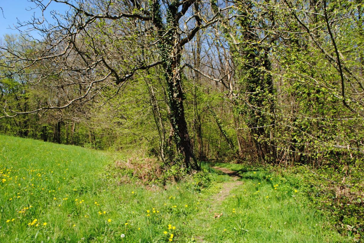
Elevations, panoramas, wide views, belvederes, descent into the deep valley of the Fure, ascent to the heights of Rives ... A hike that allows you to discover the great landscapes of South Voiron!
Other possible departures: Tullins Clos des Chartreux or Charnècles Village.
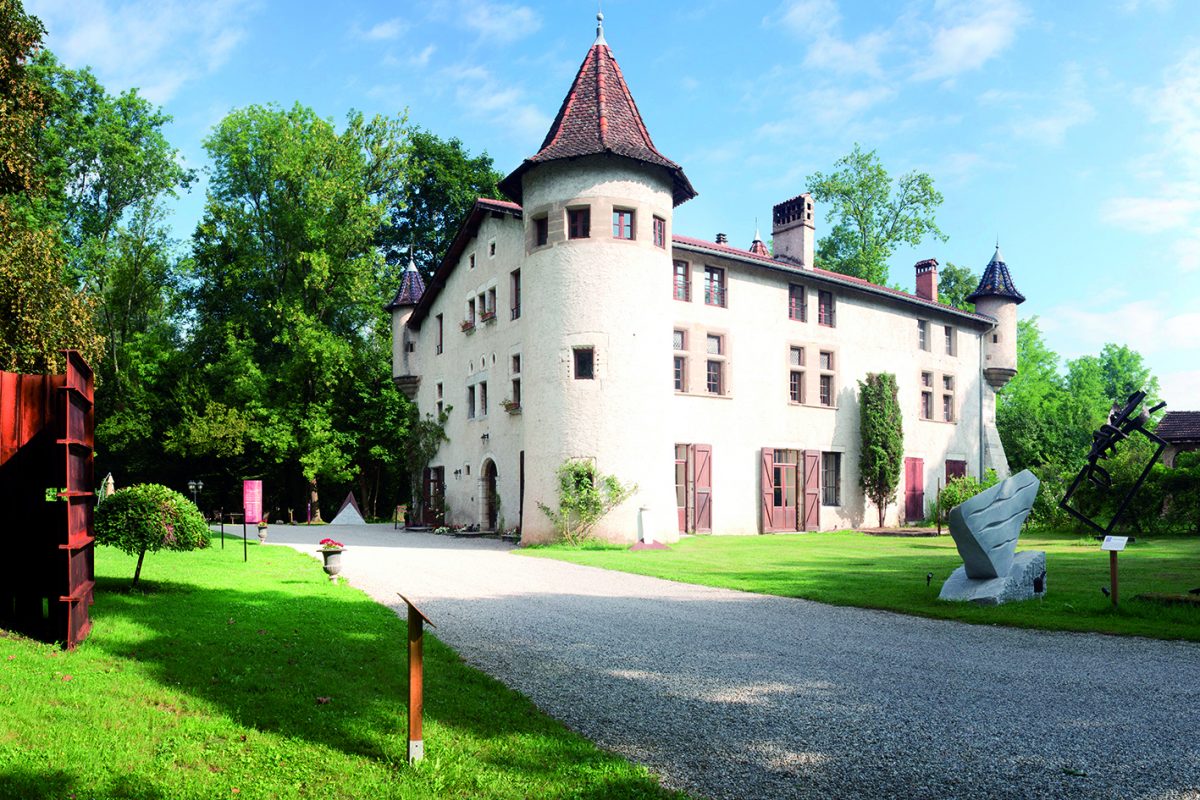
On the fringes of the Isère plain, the hike starts from the small historic village of Vourey, facing the Vercors and Chartreuse massifs. You pass in front of the domain of St-Jean-de-Chépy and its landscaped park. The first stop is at the Clos des Chartreux belvedere in Tullins; the second leads to the priory of Parménie, a former Charterhouse at an altitude of 730 m. This position offers a remarkable observatory between the plain of Bièvre and the valley of Isère, and the view of which extends as far as the Belledonne massif. You then descend to Renage and climb back up to the heights of Rives, to Vourey.
Recommendation: respect the crops and the meadows by always staying on the marked route.
Tour stages:
- VOUREY-VILLAGE
- Sanisard
- St-Jean-de-Chepy
- Tullins Clos des Chartreux
- Col de Parmenie
- Col de Parmenie
- Mollard-Ceval
- The Vernes
- Wood
- Shepherdess
- Headband
- La Guilloniere
- Scream
- Round Mollard
- Combe Louvat
- Green wood
- Filth
- Cerveloup
- The mill
- VOUREY-VILLAGE
Prices
Free access.
Equipments & services
Equipments
- Orientation table
Home of animals
- Animals accepted: not communicated
Access
Bus line A (voiron-Tullins), bus stop "Michel Perret".
Our contact details
From belvederes to panoramas
Parking near the church
church road
38210 Vourey