


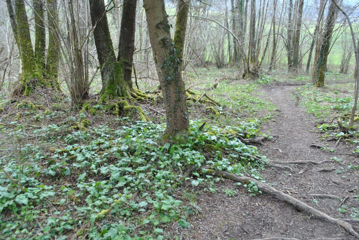
Course without technical difficulties but with a mileage and an elevation for experienced trailers.
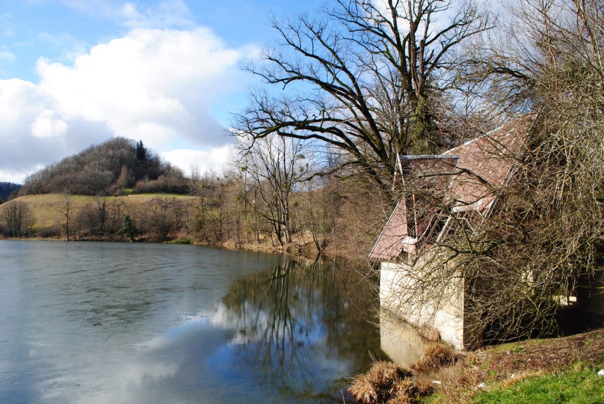
A course that begins gently to warm up along the mill canal, before tackling the climb to Lake Saint-Sixte. Then the loop around Mount Baracuchet takes you to the Carthusian pond. Then you descend to the village of Saint-Geoire-en-Valdaine.
Tips and Suggestions:
Benefit from voice guidance on OnPiste: https://www.onpiste.com/explorer/destinations/pays-voironnais-426
Topo/step by step:
Stages of the route with the name of the sign posts: - Multi-Hike Station - La Chaffardière - La Mérie - La Davière - Lac de Saint-Sixte - Larrat - Baracuchet - Col du Bret - Les Combes - Grange de Michel - Le Grand Vivier - Chartreux pond - Savaré - Reyssabot - Nouvellière - Basset - Les Tilleuls - Châtelar - La Gaîté - Multi-Hiking resort
Points of interest

Biscuit factory Louvat
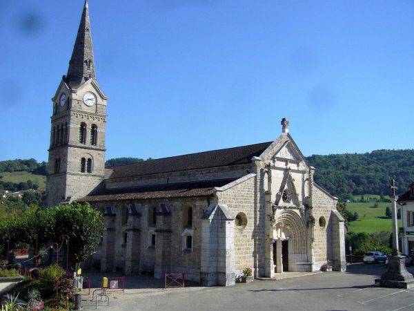
Saint George Church
Prices
Free access.
Home of animals
- Animals accepted: not communicated
Access
Departure car park: Multi-hike station, car park for the football stadium and the municipal summer swimming pool.
Our contact details
N°52: Baracuchet Loop
Multi-randos station (under the municipal swimming pool)
Combe-Versoud
38620 Saint-Geoire-en-Valdaine