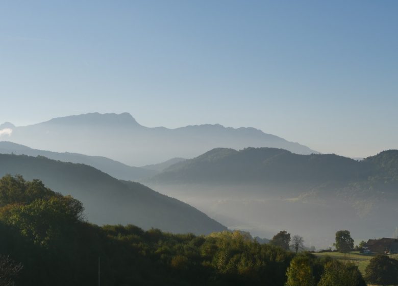
This loop in Haute Valdaine allows the discovery of restful rural landscapes and offering many circular panoramas. This is the north side of the Pays Voironnais!
You start from Montferrat towards Charrière to reach Velanne by the Mont de Velanne road. La Combe de Malafossant leads you to the land of Guiers and via St-Martin de Vaulserre you will climb up to the panorama of Bat before reaching La Sage. A small plateau and a few gentle bends bring you back to Saint-Geoire-en-Valdaine, the village of 7 castles. The beautiful ascent to St-Sulpice des Rivoires allows you, always with wide horizons and small municipal roads, to return to Montferrat.
Prices
Free access.
Home of animals
- Animals accepted: not communicated
Access
No markup in the field, we recommend that you use the gpx files on a GPS to complete the route.
Our contact details
The plateaus of Haute-Valdaine
Mont Blanc road
38620 Montferrat


