


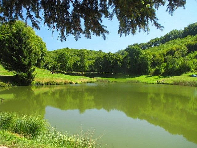
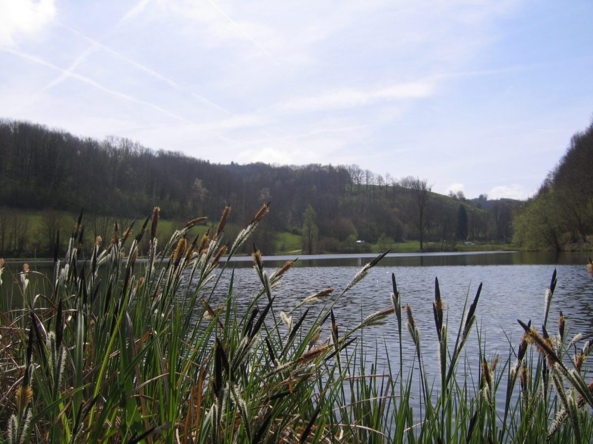
Departing from the Tourist Office, this route will allow you to admire, between the hamlets of Fayard and Janin, the enormous chestnut trees several hundred years old before discovering a more intimate atmosphere in the Thivoley ponds.
You will then reach the hamlet of Mont Follet, the highest in the town of Charavines, located at an altitude of 620 m before descending to the village.
Tour stages:
- Charavines Tourist Office
- Pagetière
- The Fayard
- The Janin
- The Verney
- The reverse
- Follow the detour signs taking the road
- Mont Follet
- Bernardiere
- Barracks
- The Vannes
- Charavines Tourist Office
Tips and Suggestions:
By taking a short detour via rue de la Caserne, you can go and taste goat cheeses at the Gaec Fure et Tour farm (sale at the farm).
Prices
Free.
Equipments & services
Equipments
- Public toilets
- Parking
Services
- Coach access
Home of animals
- Animals accepted: not communicated
Access
Our contact details
The ponds of Thivoley
230 Rue des Bains
38850 Charavines