


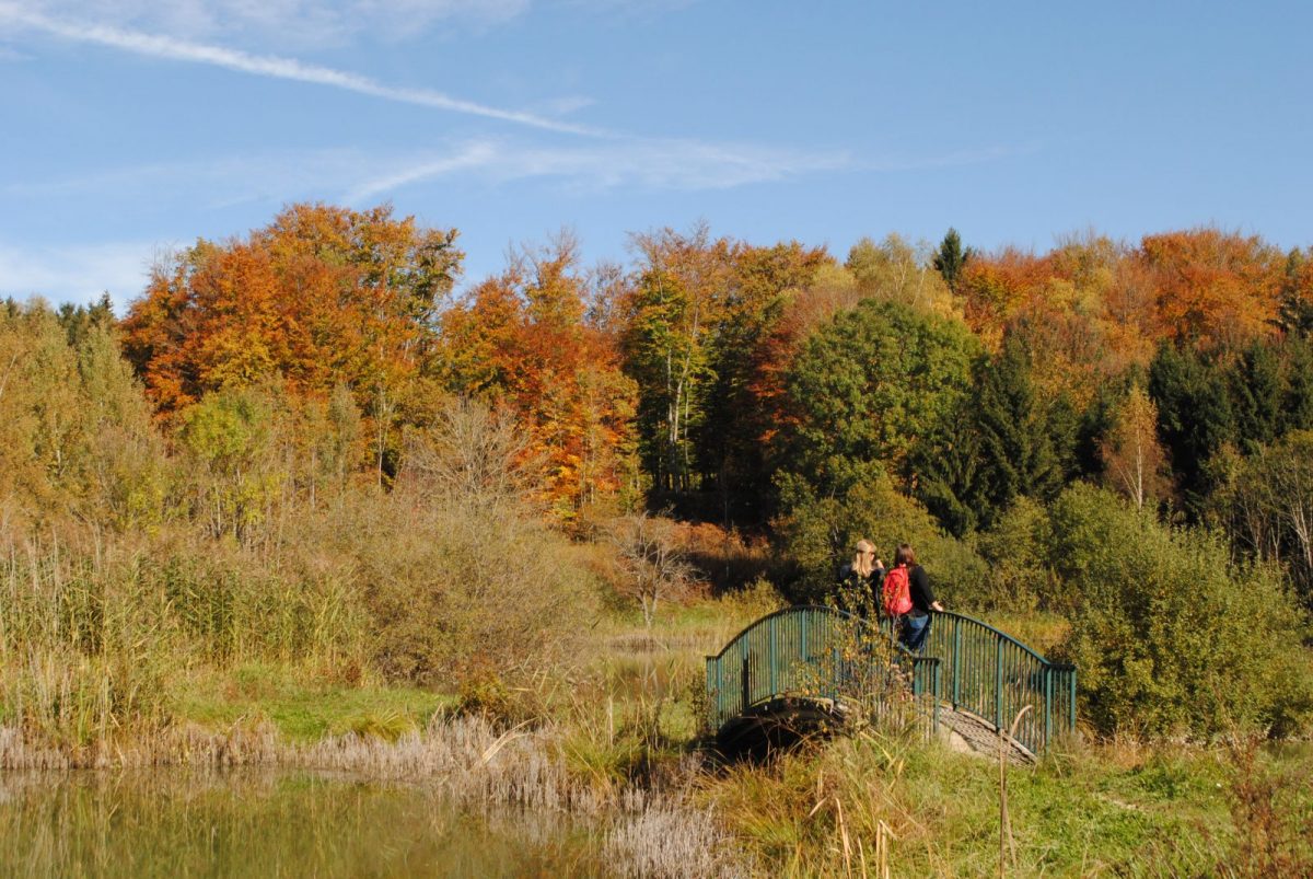
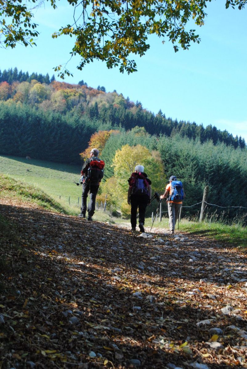
Go from the undergrowth to the edges of the lake and pond on this pretty loop in 8 which will allow you to adjust the length of the walk as you wish.
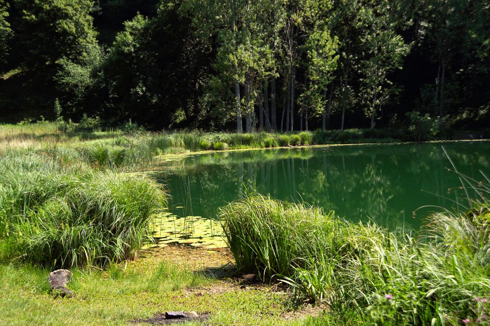
After a short climb to get out of the Grand Vivier, you will then gradually dive towards Saint-Sixte, skimming the Etang des Chartreux then the lake of Saint-Sixte. You will progress through refreshing undergrowth where springs like to reappear frequently. After the hamlet of Saint-Sixte, the descent continues towards Massieu before tackling a gradual ascent which will take you along another bank of the lake of Saint-Sixte and to take advantage of the paths and tracks of the Baracuchet wood.
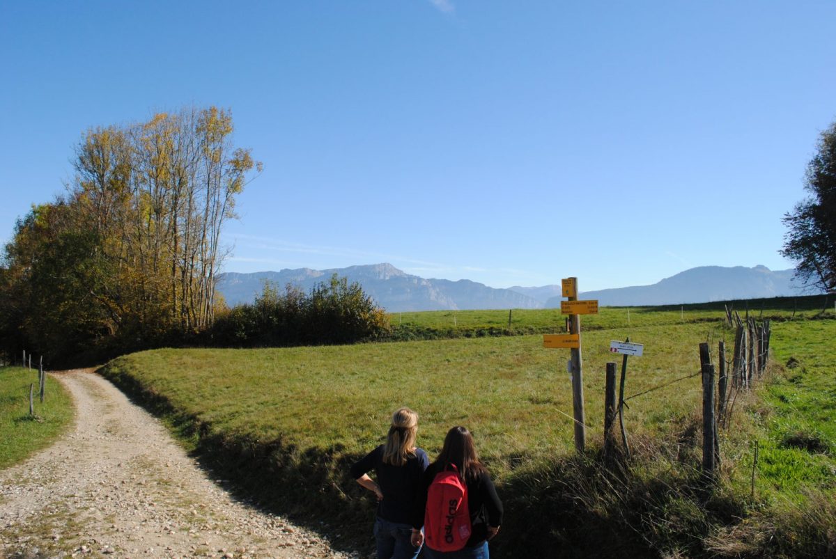
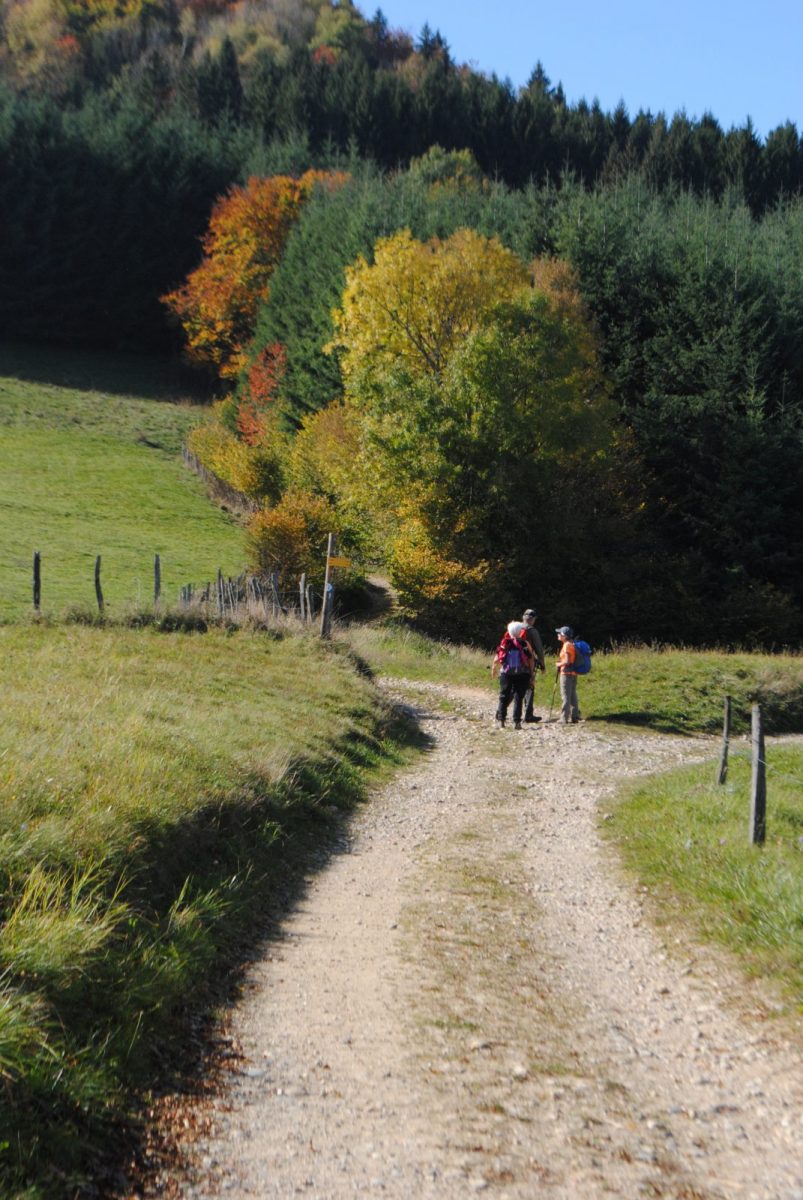
For those who prefer to shorten the walk, you can turn around at Lake Saint-Sixte and thus avoid the North-West loop going to Massieu. In this case, you will cover 7.4km and 260m of elevation gain.
Topo/step by step:
Stages of the circuit with the name of the signposts to follow: - Le Grand Vivier - Etang des Chartreux - Savaré - Larrat - Lac de St Sixte - La Merie - La Davière - Lac de St Sixte - Larrat - Baracuchet - Etang des Chartreux - The Grand Vivier
Prices
Free access.
Equipments & services
Equipments
- Parking nearby
Home of animals
- Animals accepted: not communicated
Access
Departure car park: at the level of the bus stop when arriving in the hamlet of Grand Vivier.
Our contact details
Wild bodies of water in Voironnais
The Grand Vivier
38960 Saint Aupre