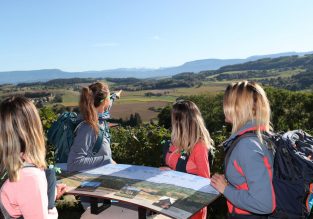
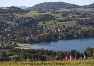
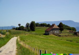
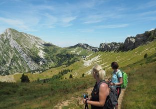
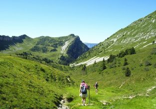
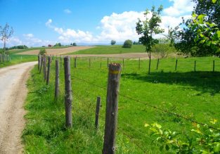
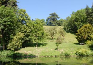
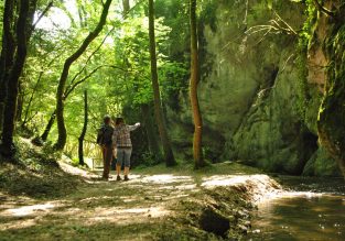
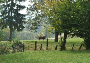
Here is a selection of hiking trails accessible to as many people as possible!
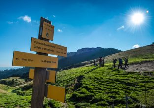
Have you chosen your favorite? Then it's time to print out your route or embark it on your phone or your GPS! And to ensure a trip without any unpleasant surprises, check out the latest field information on the « field news» (Intervention, work, etc.). 

Good to know

You encounter a difficulty or a concern on your course, tell us! A choice :
– thanks to the app meerkat, you can report the problem encountered without delay and geolocate it

- back home thanks to the contact form, it will be necessary to be as precise as possible about the site to allow us to launch an intervention.

Close filters

Refine my search

1 kms65 kms
00h09h
46m1150m

Search

Next

Previous

Les Trois Croix

Les Trois Croix

Les Trois Croix

Les Trois Croix

4

Walking

See the route

Next

Previous

Objectif Grande Sure

Objectif Grande Sure

Objectif Grande Sure

Objectif Grande Sure

Objectif Grande Sure

Objectif Grande Sure

6

Walking

See the route

Next

Previous

Bois des Chartreux

Bois des Chartreux

Bois des Chartreux

3

Walking

See the route

Carthusian wood

Coublevie
4 km, 1h, Easy-to-use, 110 D +

Next

Previous

Fontaine Mignonne, l’autre forêt !

Fontaine Mignonne, l’autre forêt !

Fontaine Mignonne, l’autre forêt !

3

Walking

See the route

Next

Previous

Les 7 châteaux

Les 7 châteaux

Les 7 châteaux

Les 7 châteaux

Les 7 châteaux

5

Walking

See the route

The 7 castles

Saint-Geoire-en-Valdaine
4.5 km, 1h, Easy-to-use, 130 D +

Next

Previous

Le Chemin des Vaches

Le Chemin des Vaches

Le Chemin des Vaches

Le Chemin des Vaches

Le Chemin des Vaches

5

Walking

See the route
Reset the map