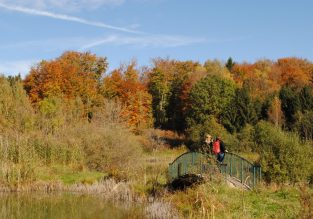
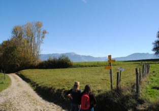
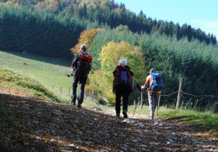
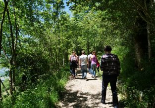
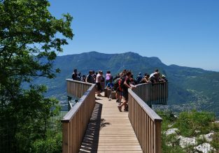
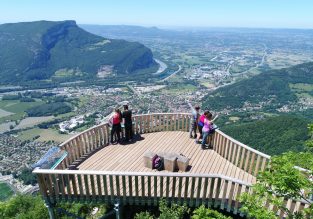
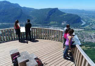
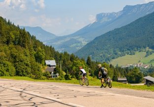
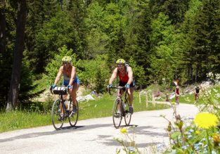
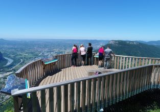
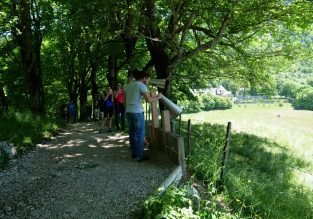
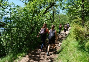
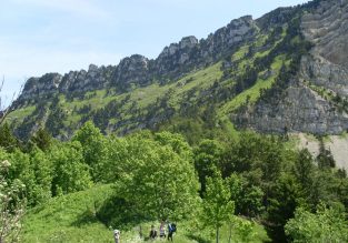
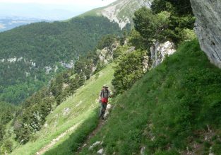
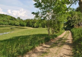
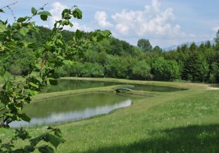
Discover all the itineraries and circuits of the Pays Voironnais: on foot, by mountain bike, by trail or electric bike, on horseback, on snowshoes! You will inevitably find your happiness on more than 550km of hiking routes, 350km of mountain bike circuits and many trail courses.

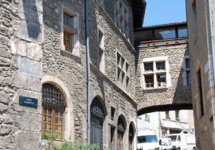
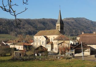
You can also discover Tullins and Saint-Geoire-en-Valdaine with different orientation courses.

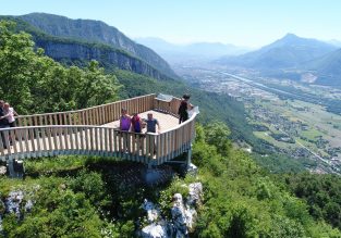
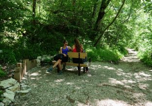
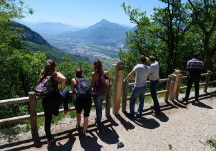
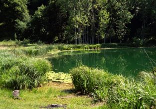
The multi-hike station in Saint-Geoire-en-Valdaine is a starting point for all types of walks, notably offering a warm-up/stretching area…. A place to organize a great day with family or friends even if you don't practice the same sport!

Close filters

Refine my search

2 kms75 kms
87m1950m

Search

Next

Previous

Plans d’eau sauvages du Voironnais

Plans d’eau sauvages du Voironnais

Plans d’eau sauvages du Voironnais

Plans d’eau sauvages du Voironnais

Plans d’eau sauvages du Voironnais

Plans d’eau sauvages du Voironnais

6

Walking

See the route
Cols & panoramas de Chartreuse

By bike

Closed

See the route

Passes & panoramas of Chartreuse

Saint-Etienne-de-Crossey
75 km, 6h, Very difficult, 1950 D +

Next

Previous

Circuit raquette vert : boucle de Chalais

Circuit raquette vert : boucle de Chalais

2

Snowshoes

Skiing

See the route

Next

Previous

Circuit raquette rouge : boucle de Saint-Aupre

Circuit raquette rouge : boucle de Saint-Aupre

2

Snowshoes

Skiing

See the route

Next

Previous

La montée à l’alpage

La montée à l’alpage

La montée à l’alpage

La montée à l’alpage

4

Walking

See the route

Next

Previous

Empreintes de Chartreux

Empreintes de Chartreux

Empreintes de Chartreux

Empreintes de Chartreux

Empreintes de Chartreux

5

Walking

See the route

The Baracuchet Tower

Saint-Etienne-de-Crossey
25 km, 2h30, Moderate, 630 D +
Reset the map